Application Description
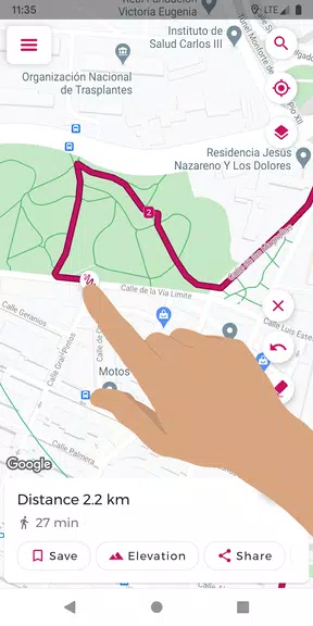
Experience effortless route planning with Just Draw It! This intuitive route planner lets you sketch your path directly on the map using your finger, instantly calculating the total distance. Perfect for runners, cyclists, walkers, and more, it simplifies outdoor exploration.
Key Features of Just Draw It!:
- Finger-drawn routes: Plan routes with a simple finger swipe on the map.
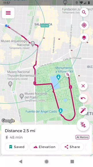
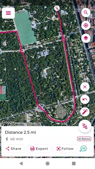
- GPX file import/export: Easily edit and share routes.
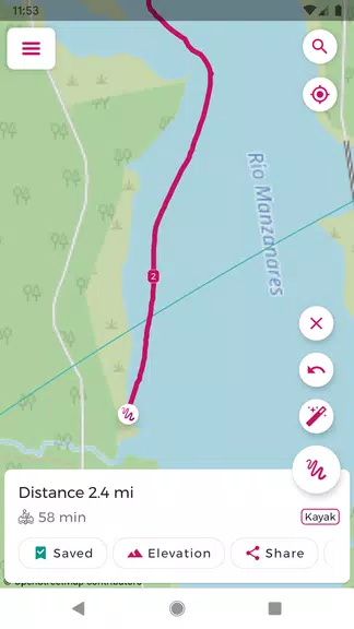
- Distance calculation: Obtain precise distance measurements.
- Route saving: Save and quickly access your favorite routes.
- Snap to roads: Ensure accurate route planning by aligning your path with roads.
- Elevation profile: View elevation changes along your planned route.
User Tips:
- Pre-plan your route and distance with Just Draw It! before heading out.
- Save time by importing and modifying GPX files.
- Share routes with friends for collaborative exploration.
- Utilize the places search to easily pinpoint starting locations.
- Review the elevation profile to anticipate inclines and declines.
Summary:
Just Draw It! is your ideal companion for all outdoor adventures. Its ease of use and precise distance calculations make route planning a breeze. Download today and confidently explore!
Screenshot