Join the fight against rising sea levels: Contribute to community-based data collection!
The Sea Level Rise app empowers citizens to map local flooding, providing crucial data on sea level rise and its effects. While coastal communities worldwide face this threat, our initiative began in Hampton Roads, Virginia, leveraging the contributions of thousands of volunteers during annual "Catch the King Tide" events. Developed by Wetlands Watch, this app fosters a more informed and connected community, enabling proactive responses to rising sea levels.
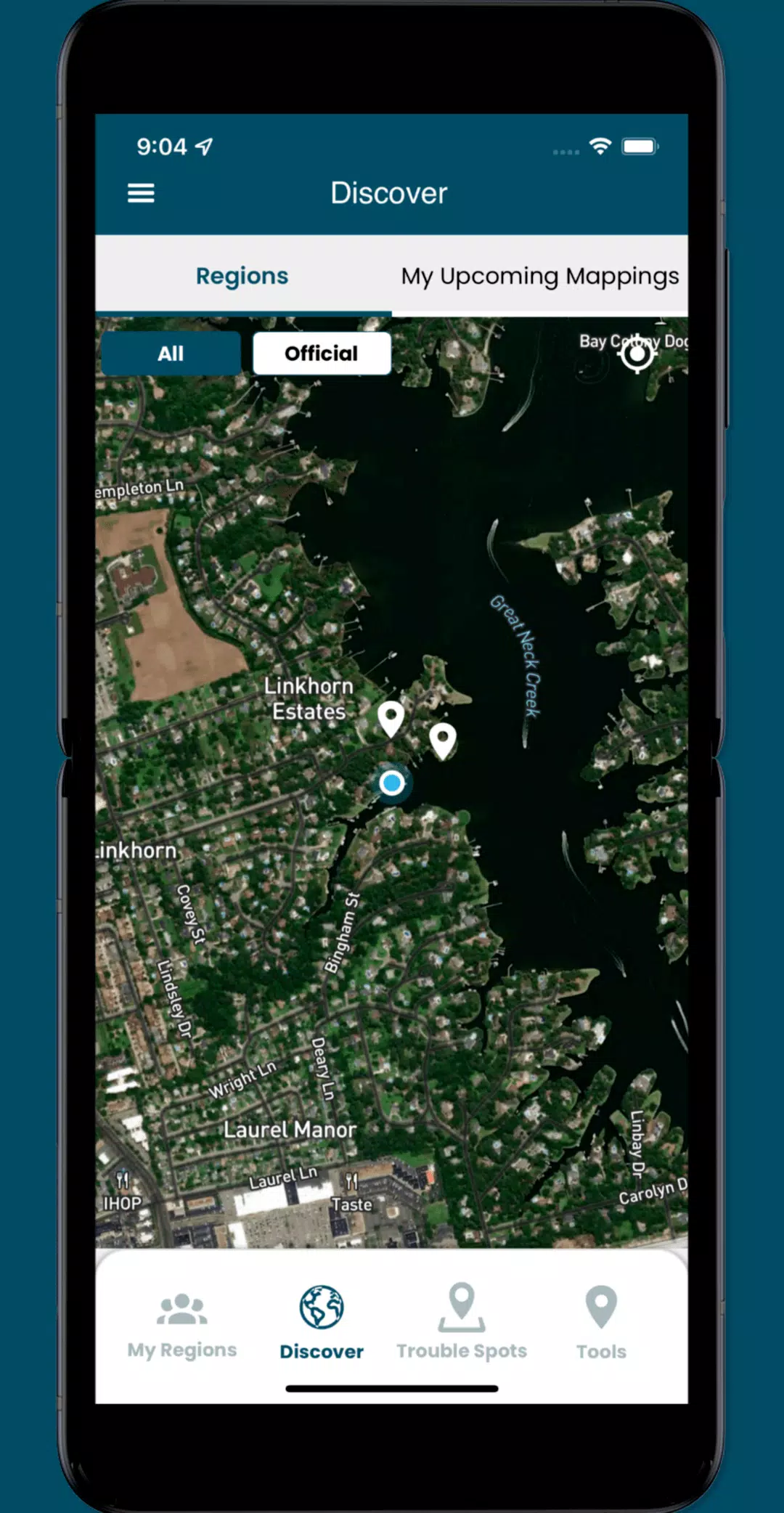
Access user-submitted data on this global issue and become a volunteer data collector! Help us gather the vital street-level information needed to understand and address the challenges of sea level rise. The app allows you to:
- Contribute to community-based data collection efforts, supplying researchers and community leaders with essential localized information.
- Identify and report "Trouble" spots—areas where high water disrupts travel during severe weather.
- Capture and share photos documenting local flooding impacts.
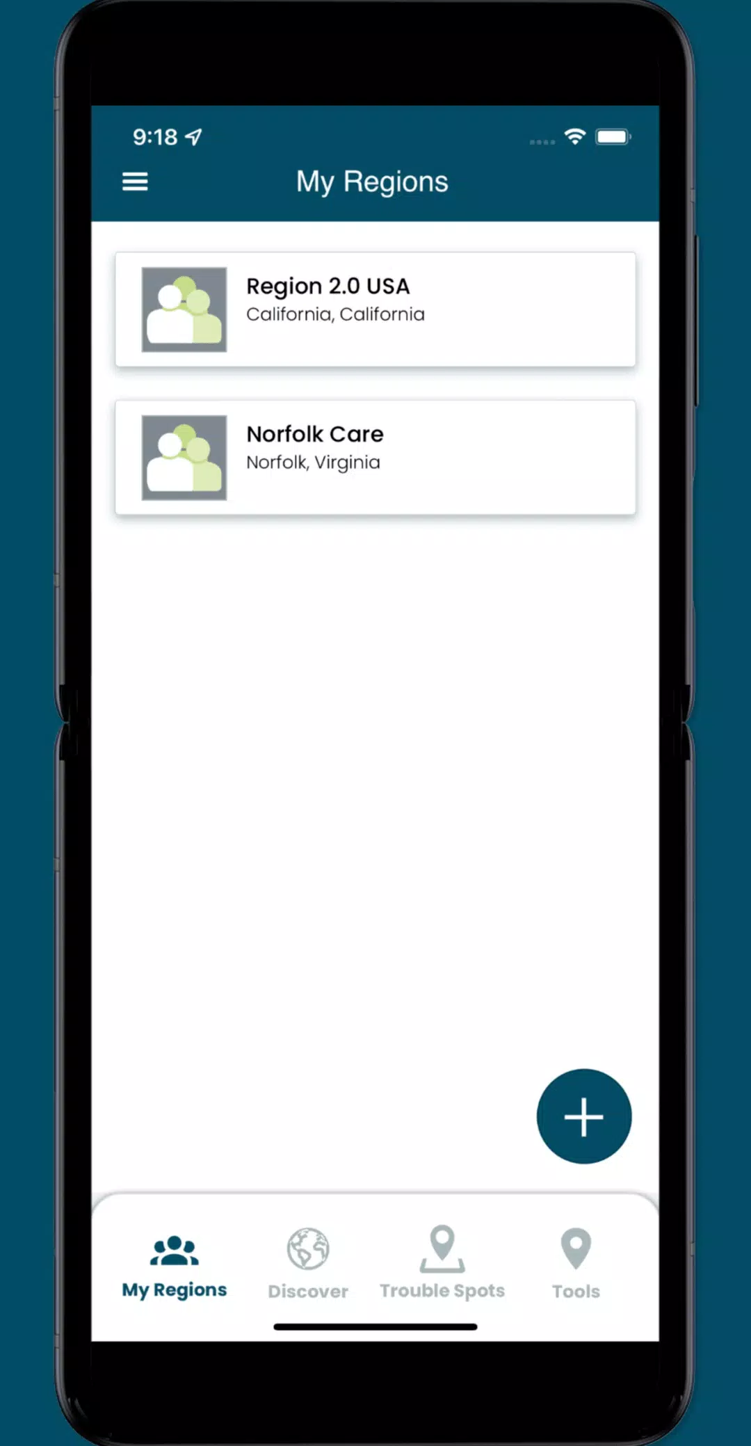
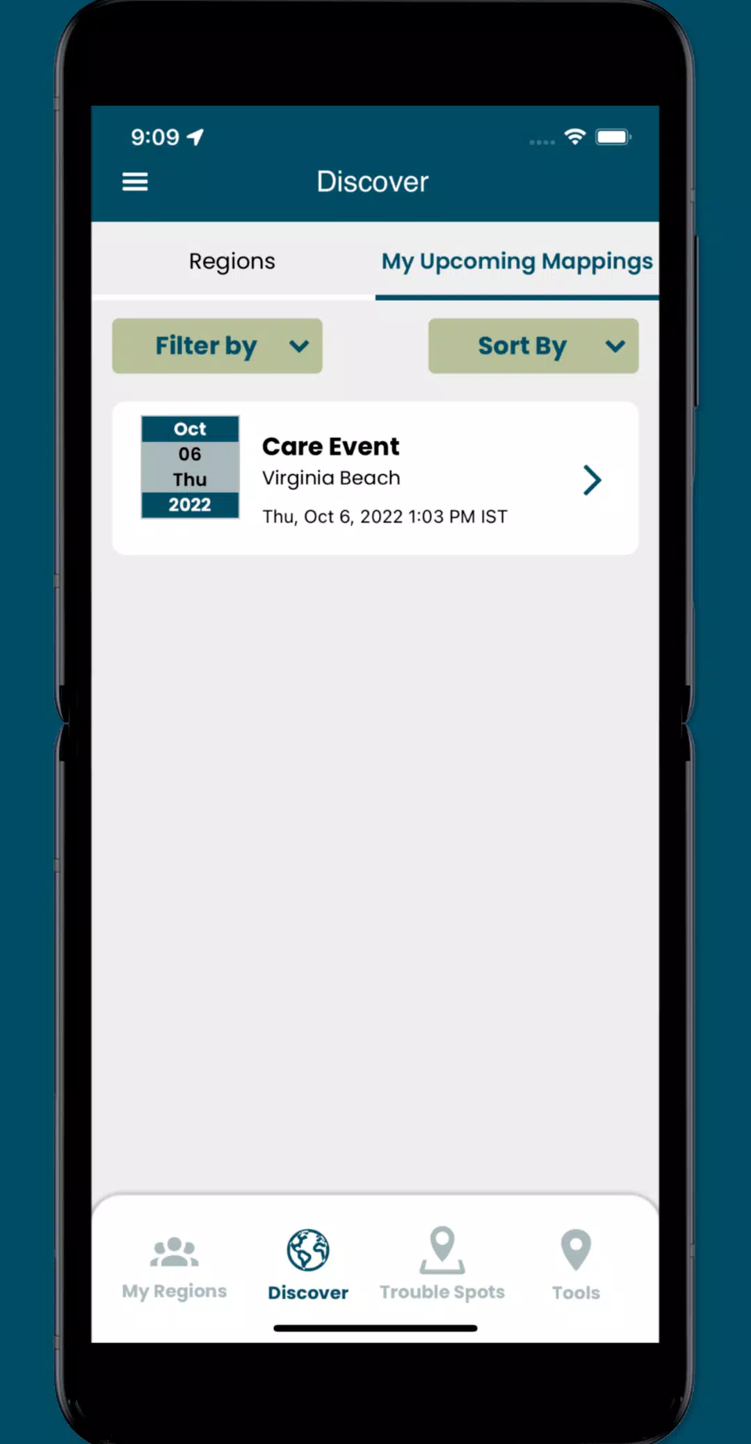
- Access dedicated collaboration spaces (regions) to manage volunteers and schedule mapping events.
Version 3.0.9 Updates (October 19, 2024)
This update includes minor UI improvements and bug fixes.